 "PS9" (PS9)
07/19/2015 at 17:45 • Filed to: None
 1
1
 3
3
 "PS9" (PS9)
07/19/2015 at 17:45 • Filed to: None |  1 1
|  3 3 |

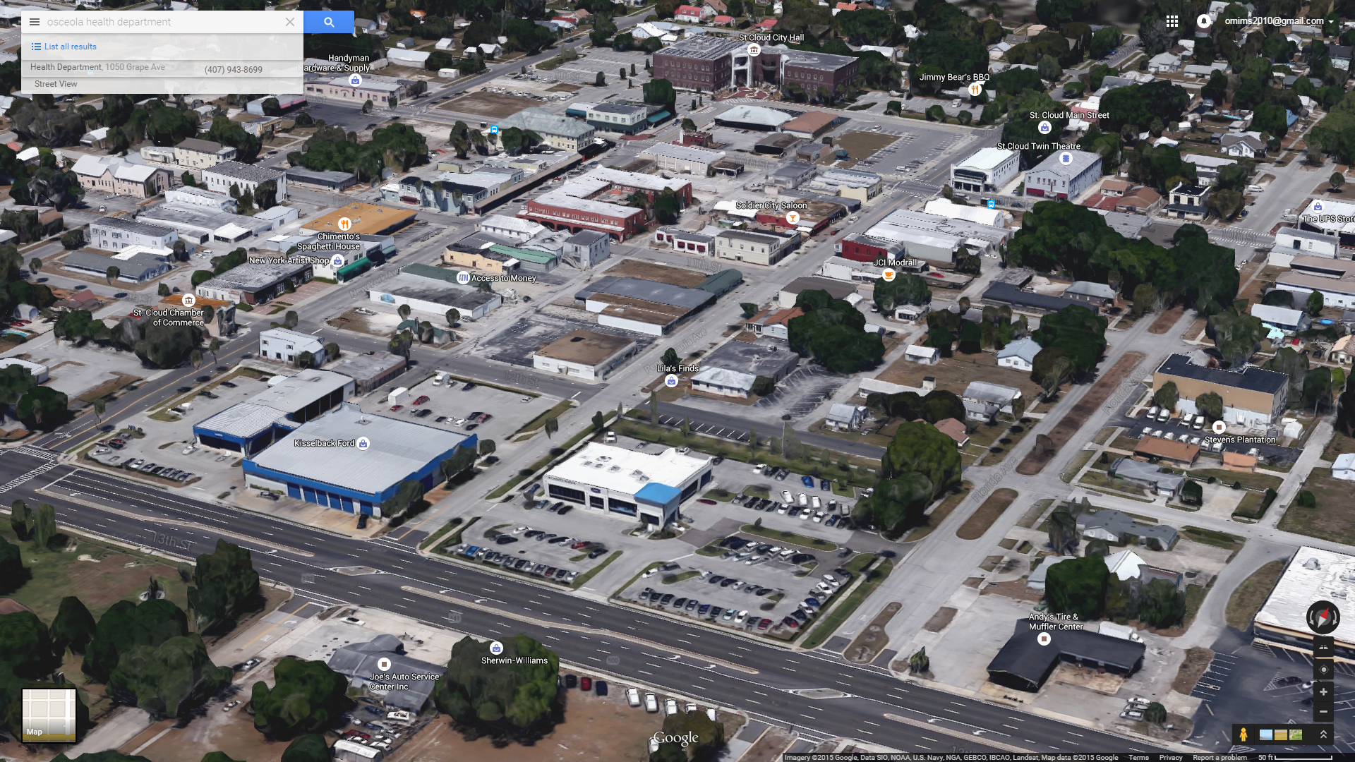
Google has mapped my town in 3D??? WITCHCRAFT.
 m2m, apex detective
> PS9
07/19/2015 at 18:14 |
|

ACCESS TO MONEY
I clearly need to go there. I wish I had access to money!
 Leadbull
> PS9
07/19/2015 at 19:16 |
|
If anyone would like to know how this works, google “stereophotogrammetry“.
Basically, they triangulate points on the buildings using multiple aerial photographs. Google probably spent a lot of time and cash money taking detailed photos, but programs exist that can create 3D estimataes of buildings using shadows on existing maps.
It’s tight stuff, yo.
 Baeromez
> PS9
07/19/2015 at 23:08 |
|
You live very close to me.